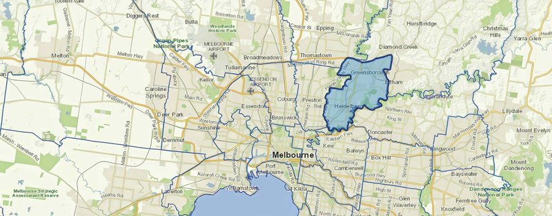
Stretching from the historic streets of Ivanhoe to the leafy expanses of Greensborough in Melbourne's northeast, Banyule City Council manages one of metropolitan Melbourne's most diverse areas. The council's 62 sq km jurisdiction spans neighbourhoods dating back to the 1920s alongside modern developments, creating unique challenges in monitoring and managing urban change.
The council’s diversity has made accurate, current spatial information essential for operations. Since the late 1990s, when councils first began adopting Geographic Information Systems (GIS), Banyule has been at the forefront of using spatial technology to serve its community better. Scott Nutt, the council's Spatial & Property Systems Analyst, has worked closely with Aerometrex and various council departments to build and refine systems that make spatial data accessible to everyone in the council.
"When we first started with GIS, we wanted to give every staff member access to accurate information about our city," Scott recalls. "The challenge wasn't just getting good aerial imagery – it was making sure everyone could access and trust the same information." Today, this vision has evolved into a comprehensive system serving over 700 staff members across the council.
Working with Aerometrex since the early 2000s, Banyule initially received one aerial capture per year. But as the council's needs grew, so did the demand for more frequent, accessible imagery. Teams across the council - from customer service to field workers - needed reliable, current views of their community.
The council's transition to MetroMap transformed how teams accessed and used aerial imagery. "MetroMap gave us exactly what we needed," Scott explains. "Regular imagery updates throughout the year, and the ability to stream live to our field teams."
Desktop Integration That Works - At Banyule, several hundred staff members across multiple departments rely on aerial imagery in their daily work. Through MetroMap's integration with council systems, teams can seamlessly view both current and historical imagery alongside their internal data. This integration proves invaluable for customer service staff answering resident queries, planners reviewing development applications, and environmental teams monitoring vegetation changes. "You'd be surprised how reliant councils are on accurate aerial photos," Scott notes. "Whether we're checking property boundaries or verifying tree locations, having accurate imagery directly in our systems makes all the difference."
Mobile Access Where It Matters - Over 130 council staff and contractors use MetroMap's live imagery through GBM Konect, their mobile spatial platform, for field operations. The current aerial imagery serves as a backdrop for all fieldwork, from footpath inspections to water fountain maintenance. "The aerial imagery is crucial for creating new data," Scott explains. "When field staff are mapping assets, they can precisely position items using the imagery as their guide, rather than relying solely on GPS. If they're adding a new footpath or identifying a tree location, they can do it accurately right there on their screen."
This mobile integration has transformed how field teams work. Staff can create tasks, manage work orders, and update asset information while on site, with MetroMap's current imagery providing the accurate context they need. "It's all about having that real-world contextual view," Scott notes. "Whether it's council staff or contractors, they're all working from the same current imagery, which makes data collection and verification much more reliable."
One Source of Truth - MetroMap ensures every council system displays the latest imagery, creating a single source of truth across the organisation. This consistency is crucial for coordinating work between office and field teams. Customer service staff can see exactly what residents are describing during calls, while field inspectors work from the same current view. "The reliability of the service is outstanding," Scott shares. "We rarely have any access issues, which means our teams can consistently get the information they need, when they need it."
The accuracy of MetroMap's imagery, combined with its consistent availability across platforms, has made it an essential tool for Banyule's operations. Teams across the council now work with confidence, knowing they're all accessing the same up-to-date, reliable information.
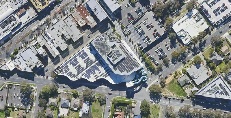
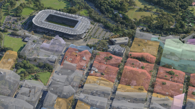
Banyule City Council building and the surrounding area as seen on MetroMap (Captured: 20 Aug 2025).
The impact of MetroMap reaches across all council operations:
Improved Community Service - "Our council relies heavily on accurate aerial imagery," Scott notes. "When residents call about trees or property boundaries, we can immediately see what they're describing and provide better assistance."
Efficient Field Work - Field teams now make informed decisions on-site. Whether they're inspecting footpaths or managing assets, having current imagery at their fingertips has transformed how they work.
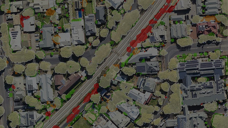
Data-Driven Environmental Management - MetroMap Insights serves as a strategic tool for Banyule's environmental initiatives, primarily supporting the environment team, who use the data for their State of Environment Reports, helping them evaluate the effectiveness of council policies. "The real value is in the repeatability of the process," Scott explains. "By measuring vegetation changes consistently over time, we can clearly see whether we're achieving net gains or losses in our green spaces."
The council continues to find new ways to use aerial imagery and data. The environment team is particularly excited about using MetroMap Insights for more frequent urban forest monitoring and tracking solar panel adoption across the community.
Scott sees great potential in expanding their use of spatial data and exploring Aerometrex’s 3D capabilities. "We're always looking at how new technology can help us serve our community better," he shares. "The key is having reliable, accessible data that everyone can use and trust."