Listen to Aerometrex's Bailey O'Brien's presentation showcasing recent work undertaken to deliver a high-res 3D dataset for The Greenline Project for City of Melbourne & the Victorian State Gov.
Read more
Aerometrex Product & Program Manager for LiDAR, Dr Sam Holt speaks at Agsmart Connect 2024 in Tamworth NSW about Airborne LiDAR and how it supports holistic agriculture and land management practices.
Read more
Aerometrex's General Manager for 3D in the US speaks at Geo Week 2024, sharing insights into the integration of multiscale 3D spatial data and game engines, and how it is enabling GIS communications.
Read more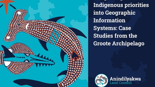
This presentation by ALC & Aerometrex summarises some of the key outcomes from the first of two sketch mapping workshops conducted with Traditional Owners on Groote Eylant.
Read more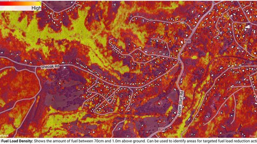
Listen to Dr. Samuel Holt from Aerometrex present at AFAC 2021 speaking about our research developing a methodology to quantify bushfire fuel loads in eucalypt woodlands and forests.
Read more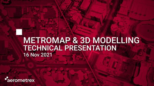
Gain an understanding of Aerometrex's MetroMap product and 3D modelling capabilities, including the key applications and recent R&D advancements
Read more
Matt Walker presented at Spatial Information Day 2021
Read more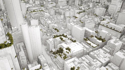
Using the latest 3D spatial tech to help build a healthier, more sustainable city
Read more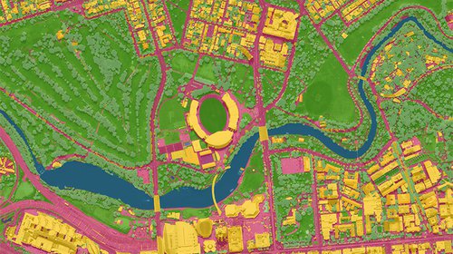
Benchmarking Adelaide’s tree canopy coverage and available plantable space using Airborne LIDAR and Deep Learning.
Read more