Environmental and emergency management professionals need accurate, current spatial data to understand complex natural systems, assess risk, and make timely decisions from planning through to response and recovery. Aerometrex helps organisations in environmental consulting, government agencies and emergency services apply high‑quality spatial data to real‑world challenges.
As a spatial solutions partner, we blend extensive experience in data capture with practical insight, helping teams transform aerial imagery, LiDAR and 3D modelling into decision‑ready intelligence. Whether you’re modelling ecosystems, managing coastal change, preparing for extreme weather events or analysing risk exposure, our solutions deliver clarity, confidence and actionable insight.
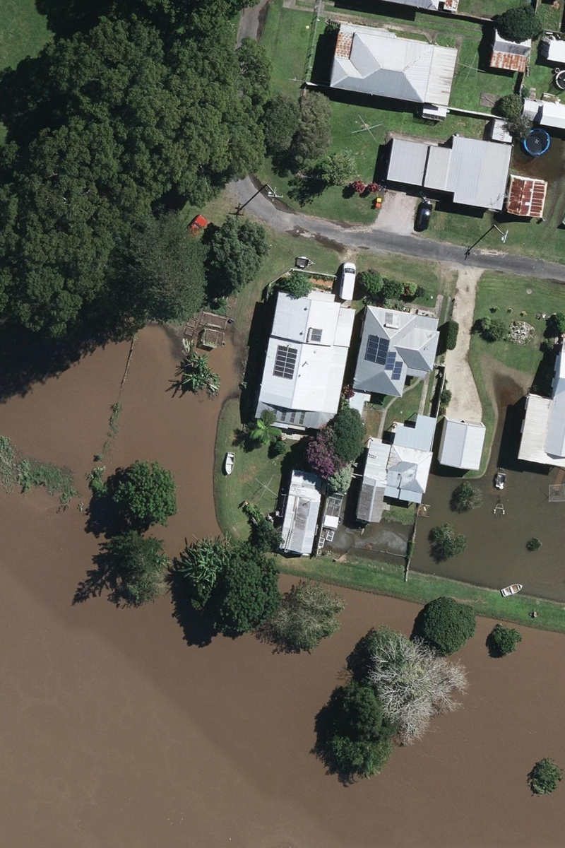
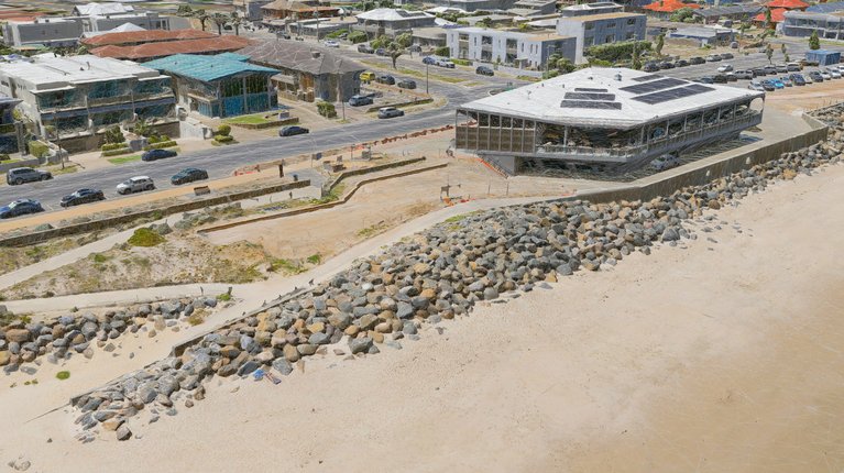
High‑resolution aerial imagery gives environmental managers and planners a current view of landscapes, waterways and urban fringe areas - essential for monitoring environmental change, evaluating hazards and preparing risk‑informed plans.
Aerometrex supplies premium aerial imagery through MetroMap, our subscription‑based imagery platform, as well as bespoke project capture where required. This flexible access means you can visualise change, validate conditions and communicate insights with clarity.
Our solutions can help:
MetroMap imagery is updated regularly and offers historical views that strengthen long‑term planning and trend analysis.
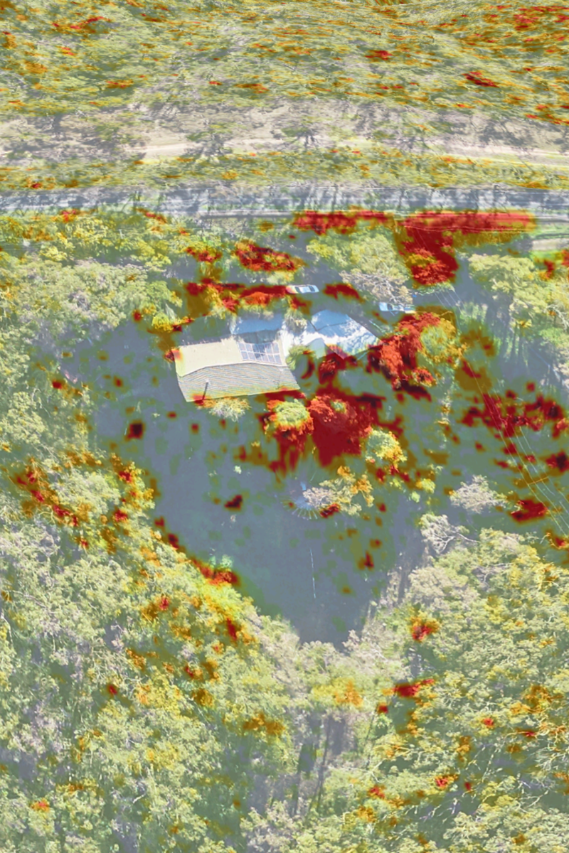
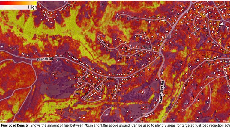
LiDAR delivers precise elevation and surface data that empower environmental and disaster management teams to move beyond visuals to quantitative terrain analysis. It supports flood modelling, catchment analysis, vegetation structure assessment, coastal change studies and more.
Aerometrex’s high‑quality LiDAR captures and derived products are tailored to your project needs, enabling accurate interpretation across environmental and risk scenarios.
This supports your objectives by:
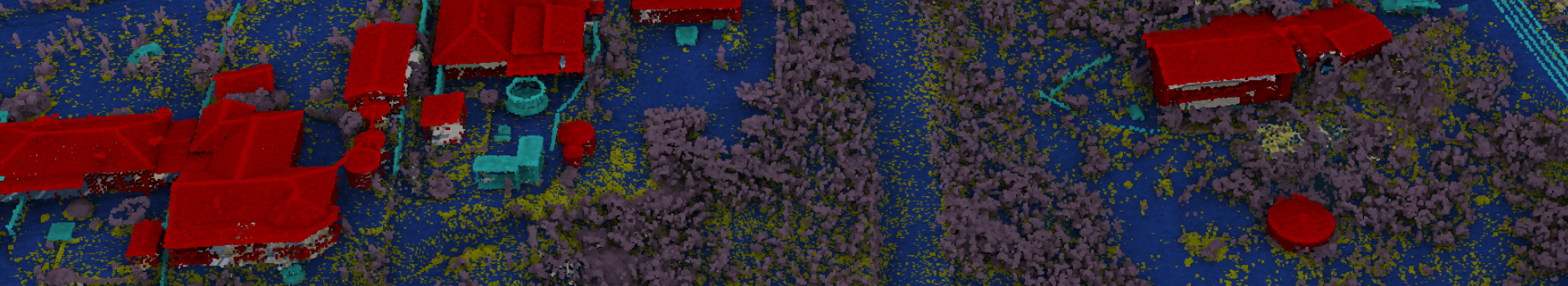
Derived products like digital terrain models (DTM), digital surface models (DSM) and contours are supplied ready for integration into your analysis workflows.
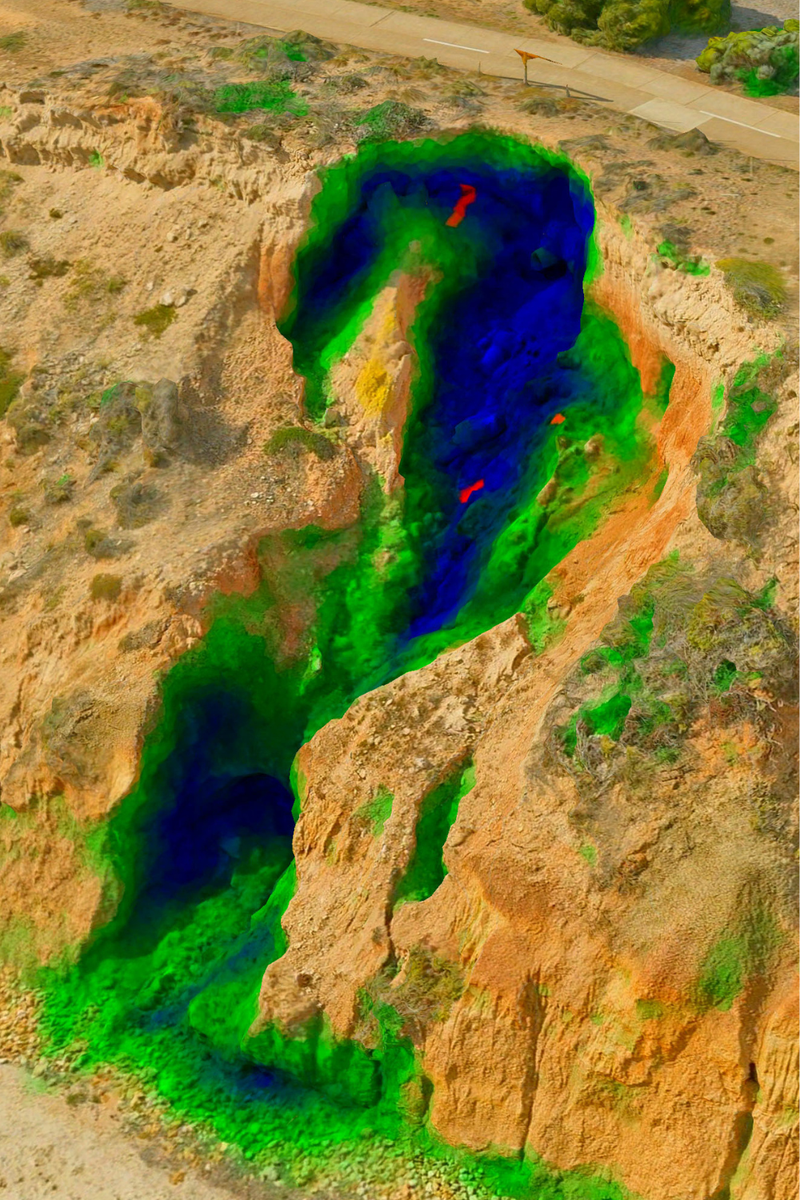
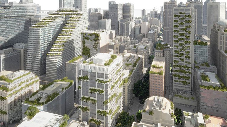
3D mesh reality models combine aerial imagery with spatial geometry to produce highly detailed, realistic representations of natural and built environments. These immersive models are instrumental for analysing environmental dynamics, communicating risk, and running scenario planning.
For environmental and disaster management teams, 3D models enhance technical understanding and communication across planning, mitigation and community engagement activities.
With Aerometrex 3D, you can:
Our 3D modelling integrates seamlessly with other spatial datasets, delivering a cohesive spatial perspective for complex environments.