With a broad range of products & services, Aerometrex serves various companies across industry sectors.
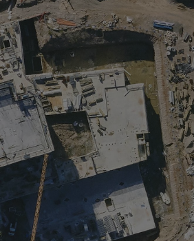
Empowering AEC teams with the spatial intelligence they need to plan efficiently, make confident design decisions and deliver projects on time, on budget and with clarity for all stakeholders.
Read more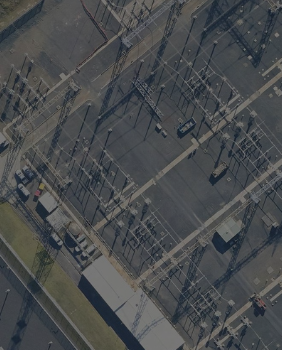
Empowering energy and utility organisations with spatial intelligence to improve asset visibility, support safer operations and plan resilient infrastructure across complex networks.
Read more
Helping environmental, planning and emergency management teams use spatial data to assess risk, monitor change and support resilient decision‑making from mitigation to recovery.
Read more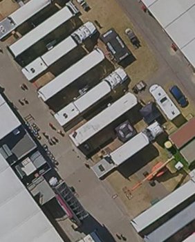
Providing event, media and entertainment teams with spatial data for planning, operational efficiency, virtual engagement, visualisation and immersive experiences.
Read more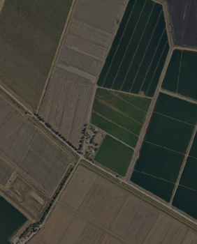
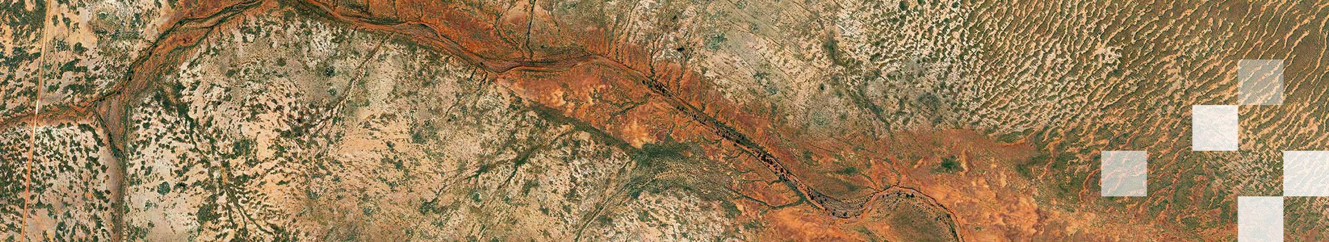
Spatial data solutions for forestry, agriculture and carbon farming, supporting vegetation measurement, terrain analysis and sustainable land management at scale.
Read more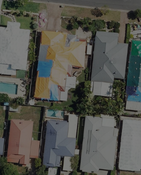
Aerial imagery, LiDAR and 3D modelling to support insurance and financial services with property risk assessment, underwriting insight and portfolio analysis.
Read more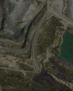
High-resolution LiDAR, imagery and 3D modelling for mining and natural resource projects, supporting exploration, operations, reporting, and environmental monitoring.
Read more
Spatial data solutions for property and real estate, combining premium aerial imagery, LiDAR and 3D modelling to support site assessment, portfolio management and investment decisions.
Read more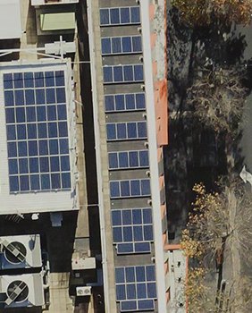
Spatial data for telecommunications supports network planning, site assessment, line‑of‑sight analysis, asset visualisation and integration into engineering workflows.
Read more
Spatial data solutions for transport, logistics and traffic management, supporting planning, operations, infrastructure analysis and stakeholder communication.
Read more
Spatial data solutions for local government and urban planning, supporting precinct analysis, urban greening, asset management and stakeholder engagement.
Read more