Aerometrex delivers spatial solutions to a range of customers across Australia and overseas. These include end-users, consulting firms, and partners incorporating our data into their own platforms. The company provides services and products to as many as 18 different industries and organisations across private and government enterprises.
Aerometrex is a member of major state & federal panels for spatial data suppliers. Our solutions are also used by local government authorities across Australia. Our aerial surveys have provided essential data for many major projects across sectors such as mining, property & real estate, engineering & construction, energy& utilities, transport & logistics, etc.
With Aerometrex LiDAR, acquire details of both the terrain and any above-ground features such as vegetation and infrastructure, with accuracy and resolution unparalleled by other airborne methods. We offer LiDAR surveys and derived outputs tailored to your project requirements and acquire aerial imagery alongside the LiDAR survey, providing an additional data set to increase the value of your capture.
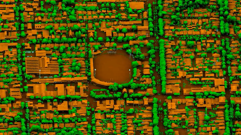
Aerometrex 3D data gives you access to high-resolution mesh models that provide context to your projects, help develop and visualise scenarios and offer a comprehensive 3D base dataset for change monitoring. Tailor your 3D project with Aerometrex 3D or check out one of our off-the-shelf city models via our MetroMap Store from a world leader in reality mesh delivery.
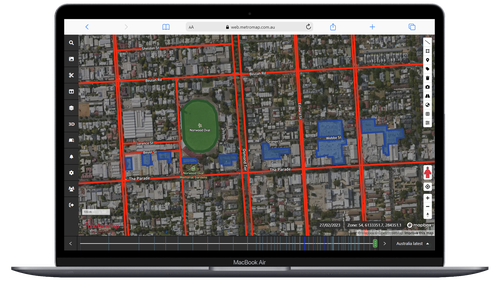
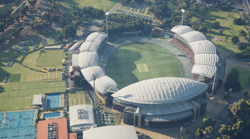
Unlock the power of high-resolution aerial Imagery and enhance your business operations to drive growth. Say goodbye to the need for costly site visits and enjoy the convenience and efficiency of MetroMap. This powerful tool empowers you and your company with instant access to high-resolution aerial imagery to access, analyse and act with ease.