See how MetroMap helps the Salvation Army expand Salvos Stores with fast site insights.
Tailored elevation data that shows the specific height of buildings and is useful for urban planning
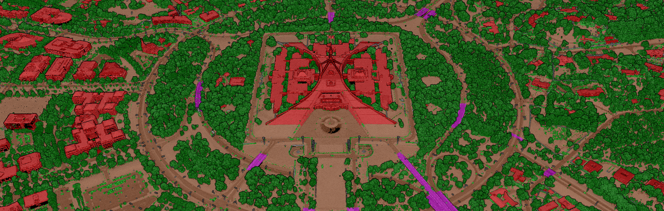
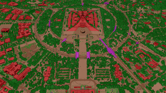
Aerometrex's LiDAR Classification Types cater to a wide range of requirements and can be tailored
See how our data helped Codemasters build this iconic race track for the global stage.
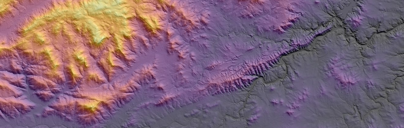
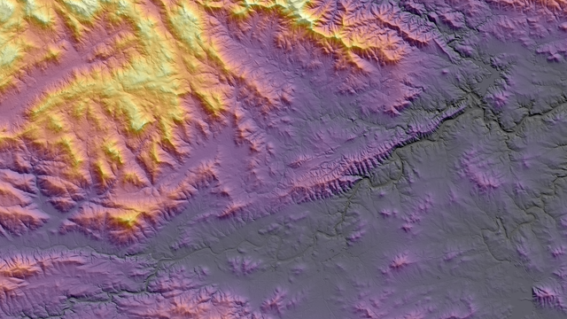
The application of Hillshade effects helps reveal topographical features in a DTM