Banyule City Council has worked closely with Aerometrex to build and refine systems that make spatial data accessible to everyone in the council.
Read more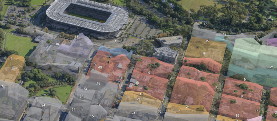
See how the City of Parramatta cut development decision times by 50% using Aerometrex 3D city models to transform their planning, collaboration, and community engagement.
Read more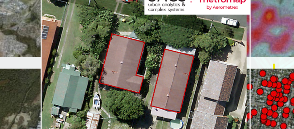
The Asbestos Roof Spatial Dataset was produced by UACS using AI models to detect asbestos-containing material in roofing with high-resolution aerial imagery provided by Aerometrex’s MetroMap solution.
Read more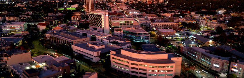
The City of Subiaco is committed to promoting sustainable urban development while preserving the unique character of its local communities. To do this, they have embraced cutting-edge spatial data.
Read more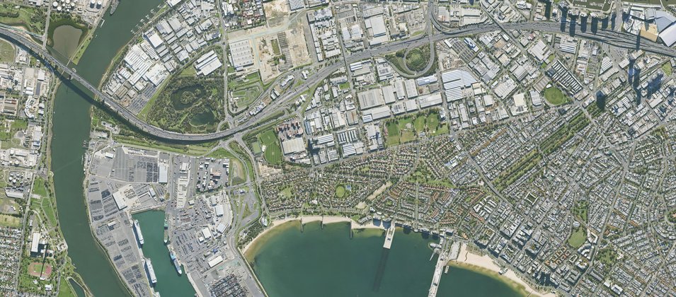
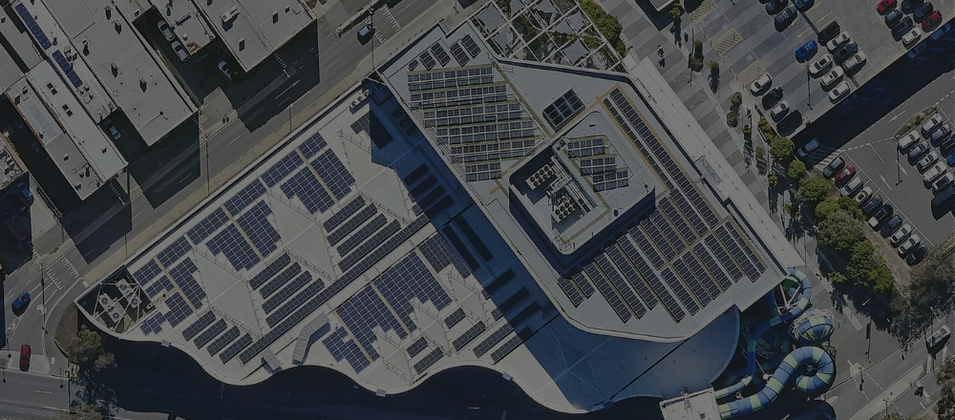
Port of Melbourne is Australasia’s largest maritime hub for containerised, automotive and general cargo. To effectively oversee operations, they leveraged Aerometrex's cutting-edge imagery & 3D data.
Read more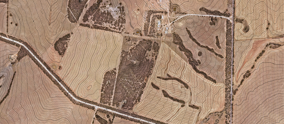
Aerial LiDAR surveys are critical to site planning and sustainable energy development for companies like Vestas.
Read more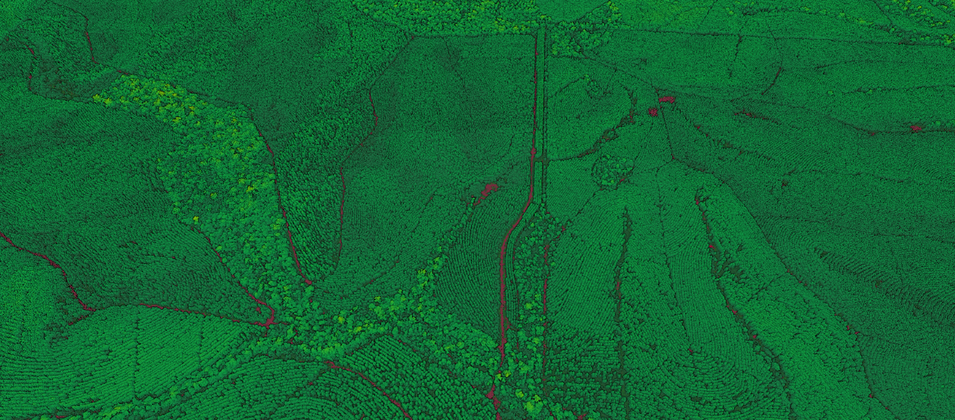
Growers like HQPlantations are seeing clear commercial benefits, related to the increased efficiency in their monitoring operations using aerial LiDAR surveys.
Read more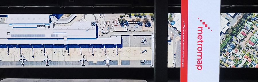
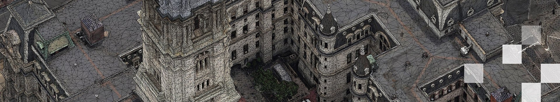
Read how MetroMap’s 3D reality mesh and 2D high-resolution aerial imagery crossed into the entertainment space.
Read more