Mining and natural resource teams need accurate, current spatial data to manage every stage of the mine lifecycle - from exploration and development through operations, reporting and rehabilitation. Aerometrex delivers high-quality aerial LiDAR, imagery and 3D modelling that help operators make safer, faster, and more cost-effective decisions without compromising accuracy or timeliness.
With decades of experience across Australian mine sites, Aerometrex enables teams to capture critical spatial datasets efficiently, supporting departments, including planning, operations, environmental management, compliance, and asset monitoring.
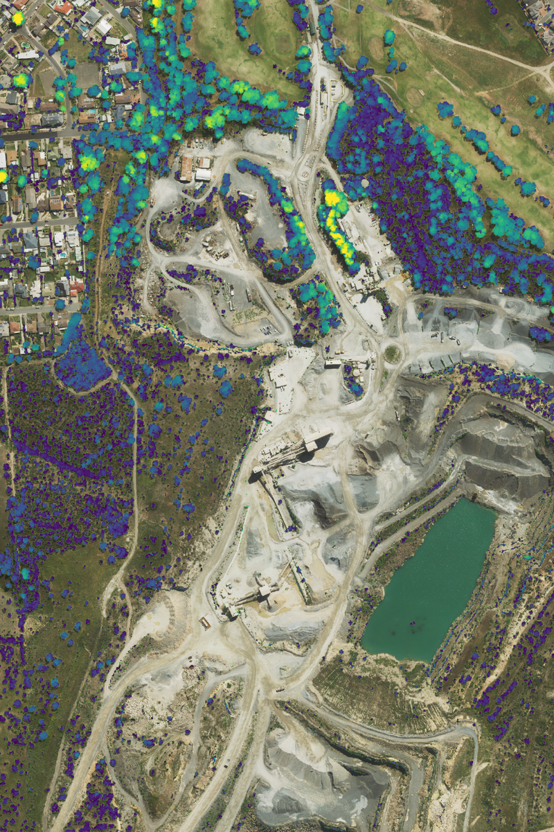
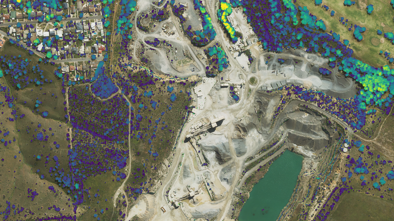
Aerometrex aerial LiDAR surveys provide high-density elevation and surface data across large-scale mine sites. LiDAR supports exploration, volumetric calculations, site planning, environmental management, and operational monitoring - with rapid acquisition and time-critical survey capabilities to meet monthly reporting cycles and regulatory requirements, including BARS compliance.
This provides your team with:
LiDAR can be combined with aerial imagery for enhanced visualisation and analysis, reducing the need for multiple on-site surveys.
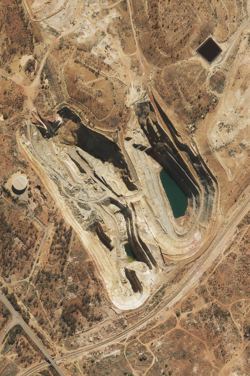
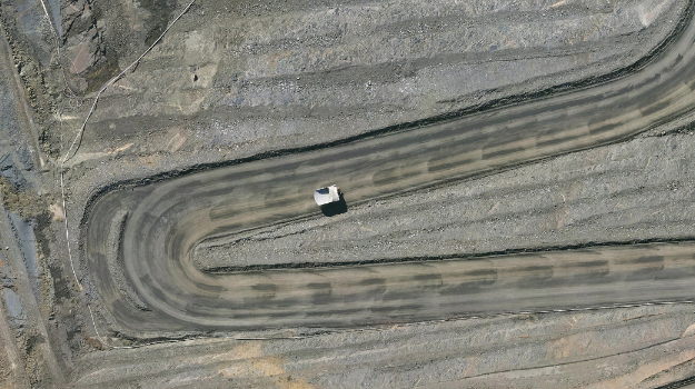
High-resolution aerial imagery complements LiDAR by providing visual context for mine sites, helping teams map pit extents, stockpiles, haul roads, processing areas, and surrounding land use, enabling safe and efficient operational oversight.
MetroMap delivers imagery via APIs, allowing seamless integration with GIS platforms such as Esri ArcGIS, CAD tools, or web-based MapViewer for in-field access - making it easy for site supervisors, planners, and managers to visualise conditions in real time. Imagery can also be captured regularly to create time series datasets, helping teams detect subtle changes, plan maintenance, or track environmental compliance.
This provides your team with:
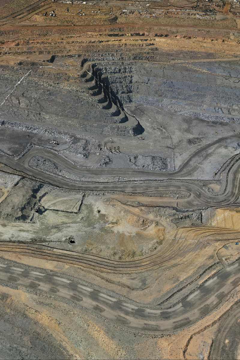
3D mesh models combine imagery and geometry to produce photo-realistic representations of mine sites. These models are highly effective for stakeholder communication, site planning, and remote inspection. They give a tangible, immersive perspective of complex operations, allowing teams to visualise surface and infrastructure features in context.
3D meshes can be particularly useful for:
Deliverables can integrate with GIS, CAD, and other operational systems, providing a single source of visual truth for cross-department collaboration and decision-making.