Across Australia’s built environment, accurate spatial data underpins better planning, safer construction and more efficient asset management. Aerometrex provides architects, engineers, contractors and consultants with reliable aerial imagery, LiDAR and reality modelling that support projects from early feasibility through to delivery and ongoing operations.
As a spatial solutions partner, we combine deep expertise in data capture with practical interpretation, helping AEC teams maximise value from high-quality geospatial data without adding unnecessary complexity. Whether you need current context for design, trusted terrain for analysis or compelling visualisations for stakeholders, our solutions are designed to fit seamlessly into your workflows.
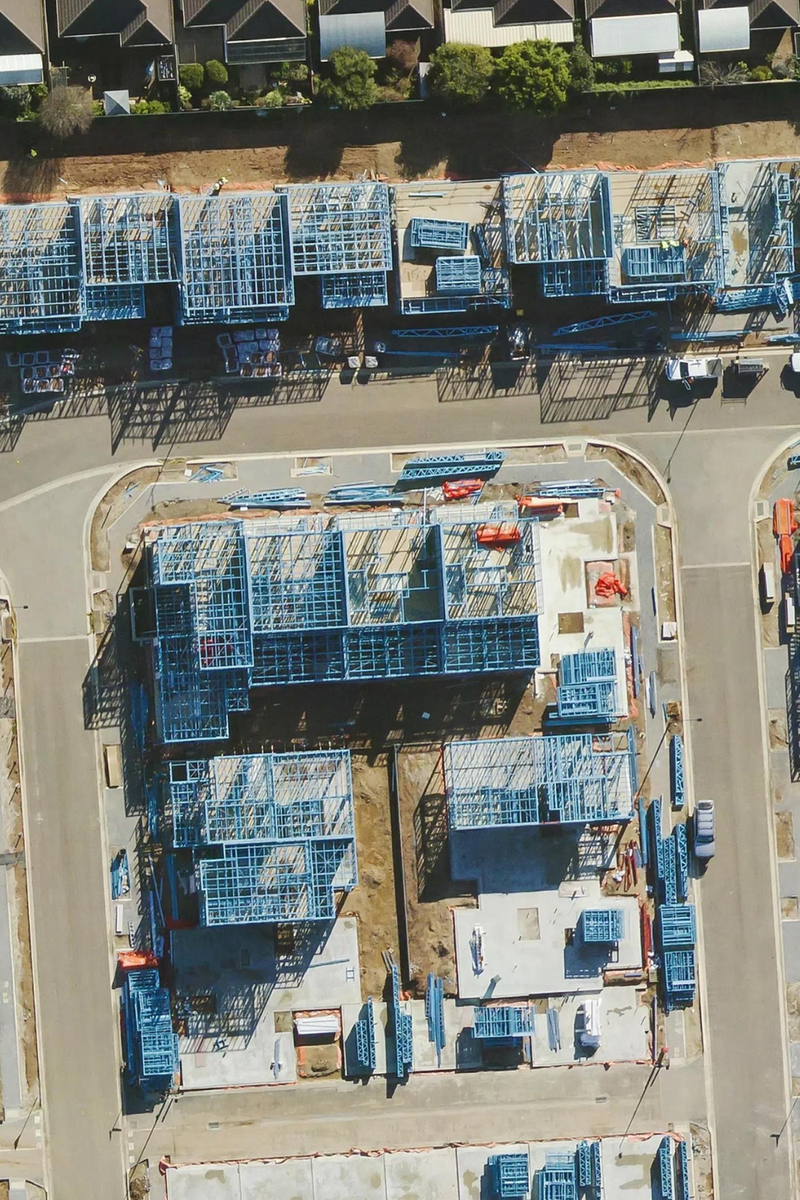
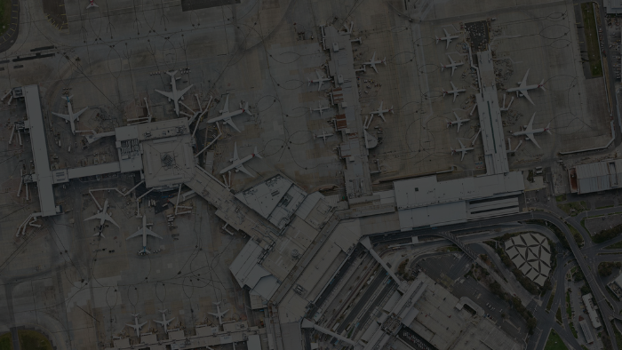
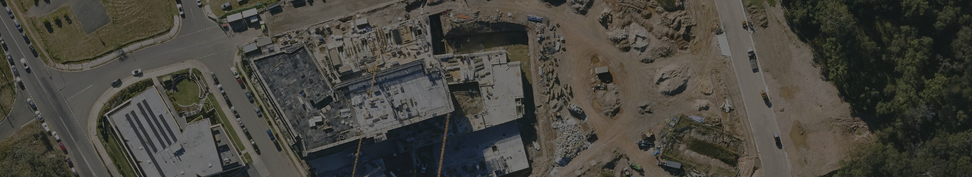
High-resolution aerial imagery provides a shared, up-to-date view of the built and natural environment – critical for early-stage planning, design coordination and informed decision-making.
Aerometrex supplies premium aerial imagery through MetroMap, our subscription-based imagery platform, as well as via bespoke project capture where required. This gives AEC teams flexible access to reliable imagery at the scale that suits their work.
This gives your team the ability to:
MetroMap imagery is updated regularly across major urban areas, making it ideal for organisations that require ongoing access rather than one-off datasets.
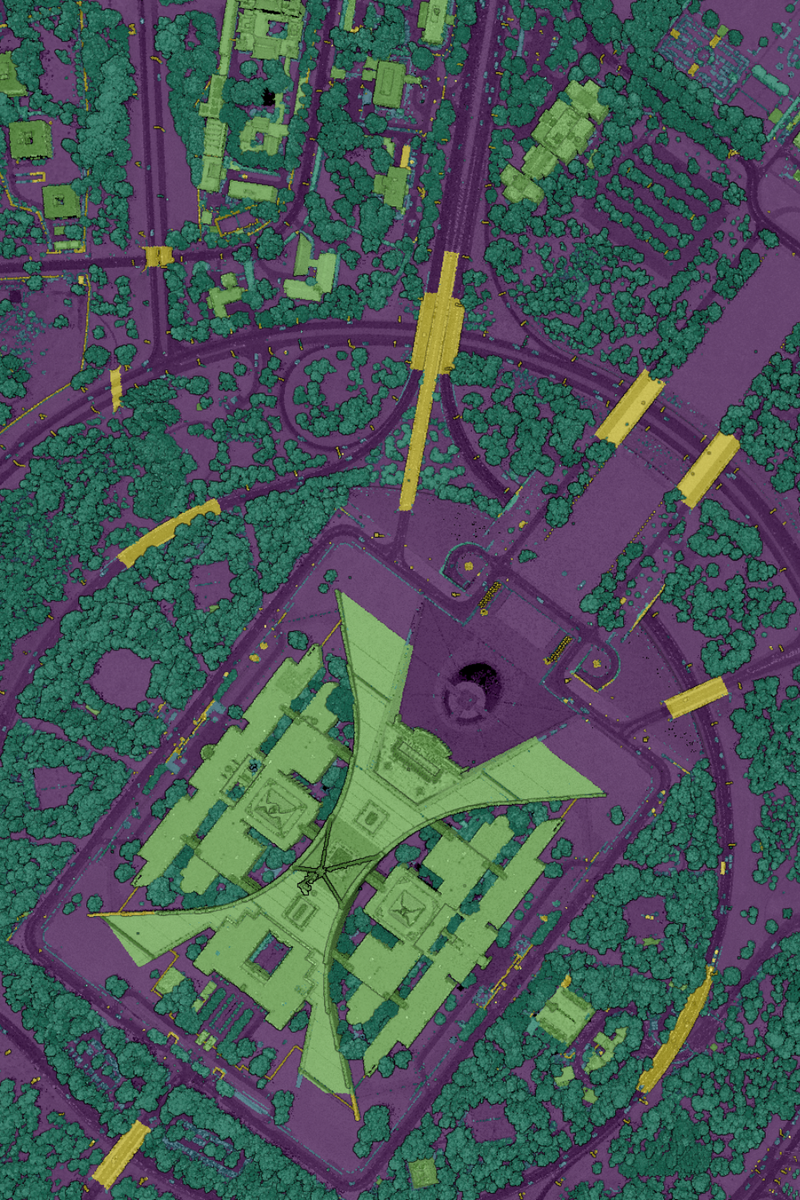
LiDAR provides the elevation intelligence required for engineering-grade analysis, enabling AEC professionals to move beyond visual context to quantitative understanding.
Aerometrex delivers high-quality LiDAR datasets and derived products tailored to project needs, supporting applications across design, construction and asset planning.
This equips your business with:
Derived products such as Digital Terrain Models (DTM), Digital Surface Models (DSM) and contours are supplied ready for use, allowing teams to focus on outcomes rather than data preparation.
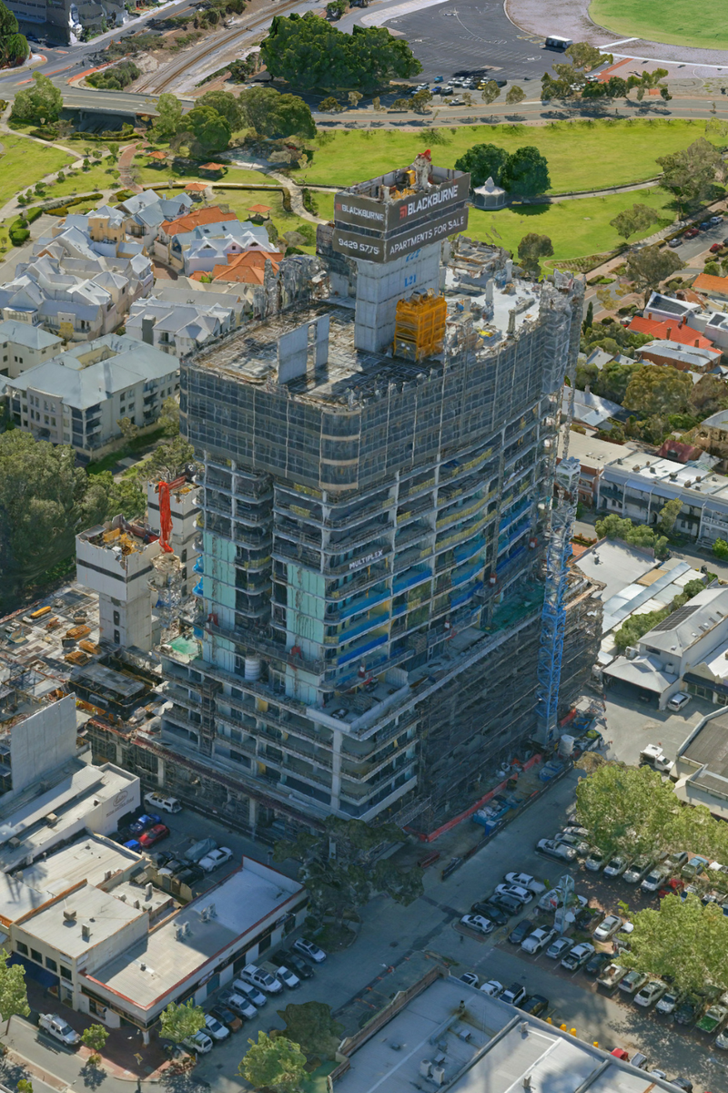
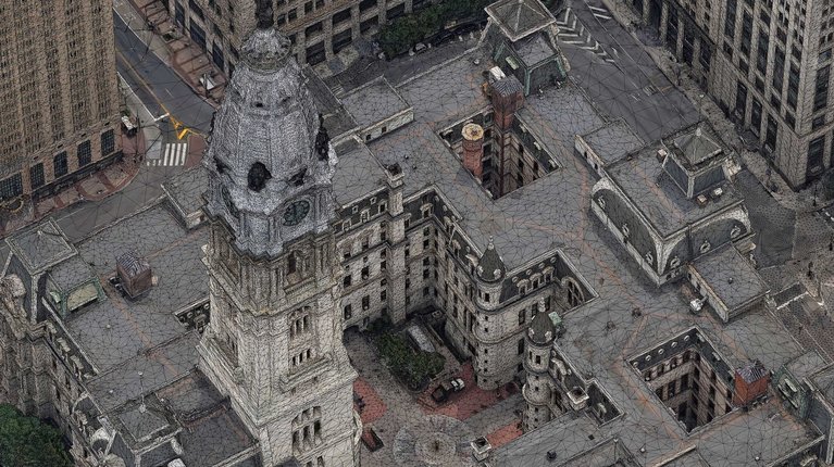
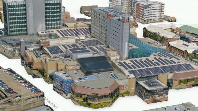
Reality mesh models bring projects and environments to life by combining aerial imagery with spatial geometry to create highly detailed, photo-realistic 3D representations.
For AEC teams, 3D mesh models support both technical understanding and communication, helping bridge the gap between design intent and real-world context.
This enables you to:
Our 3D reality modelling integrates seamlessly with other spatial datasets, providing a cohesive digital representation of the project environment.