Picture trying to make decisions about your city's future while looking at flat 2D technical drawings and basic white building models. This was the daily reality for the City of Parramatta, where council members were challenged with understanding how new developments would transform their rapidly growing city of 250,000 residents.
With over 30,000 businesses and $2 Billion in building approvals, Parramatta isn't just growing – it's transforming into New South Wales’ second central business district. But this growth brought a unique challenge: how do you help everyone visualise and understand such massive changes?
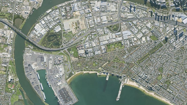
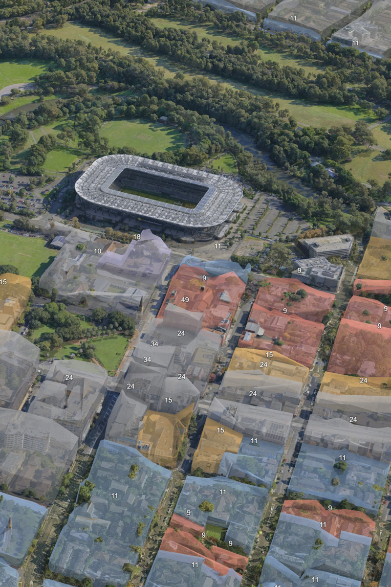
A subsection of 2cm high-resolution 3D data used by the council for planning, collaboration, and community engagement.
The Challenge
"Previously we were showing internal and external stakeholders simple white building models, and they had a hard time visualising how developments would actually look in the real world," explains Tim Zhao, 3D Program Lead at the City of Parramatta. This disconnect created real problems:
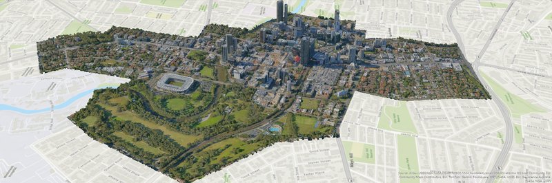
City of Parramatta is visualising their 2D GIS building height data layer in 3D to identify which developments are breaching controls.
The Solution
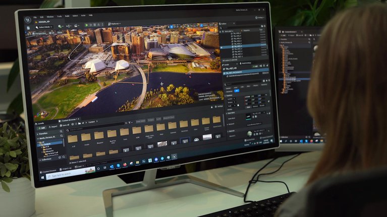
The city partnered with Aerometrex to create a detailed digital twin of their entire local government area. The resulting 3D model captures the city's features down to 2-centimetre detail, providing a foundation that transformed how Parramatta visualises and plans developments.
"Now when we have council meetings, we can show developments in real-time context," Tim explains. "It's not just about seeing individual buildings – it's about understanding how everything works together." What began as a tool for urban design has evolved into a citywide platform:
Benefits and Results
The City of Parramatta has seen remarkable improvements since implementing Aerometrex's 3D modelling solution. These improvements touch every aspect of their urban planning and community engagement work.
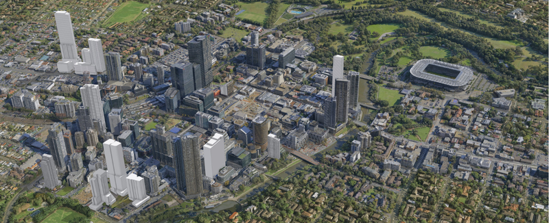
The 3D model gives context to approved & under construction developments happening within the Council.
Looking Forward
"What excites me most is how other teams are starting to see the potential," says Tim. The initial success with urban design and planning has opened doors for broader collaboration across council.
The public domain team is particularly eager to revolutionise tree management. Their vision includes creating a digital bank of every tree species planted within the council, allowing them to track each tree's lifecycle, maintenance needs, and health in real-time through the 3D model. "Instead of digging through spreadsheets, teams will simply click on a tree in the model to access its complete history," Tim explains.
Similar innovations are planned for asset management, especially for council-owned facilities like playgrounds. "We've invested a considerable amount in capturing our entire local government area over nine years," notes Tim. "Now we're focused on making that investment work harder by helping teams manage everything from construction records to maintenance schedules through the 3D platform."
These initiatives reflect the City of Parramatta's commitment to smarter, more efficient city management. As Tim puts it, "Every month we find new ways to use our 3D model. It's not just about planning anymore – it's about building a more connected, better-managed city."