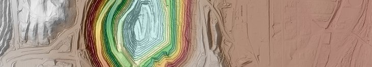
We can generate quantitative & qualitative elevation products from a single aerial LiDAR survey, including Digital Terrain Models (DTMs), Digital Surface Models (DSMs), Contours, Hillshades (DTM/DSM), and more. Check out samples of each of these along with an aerial imagery base map, using the link below.
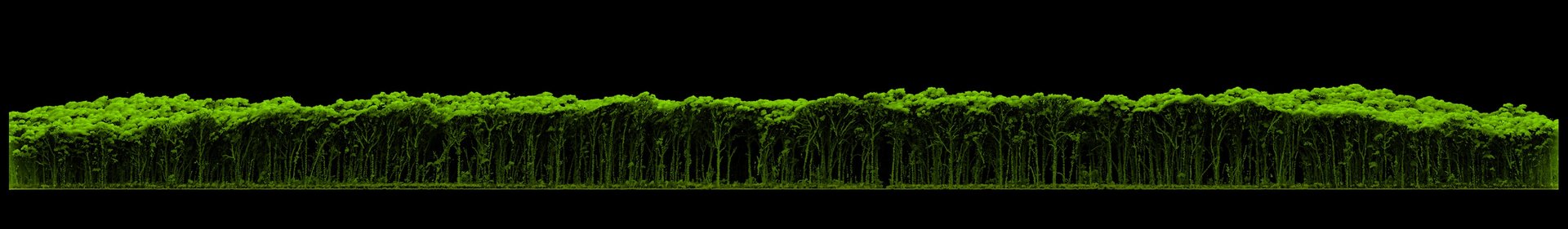
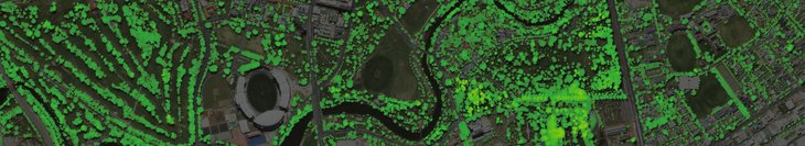
Using our aerial surveys, we can supply an array of vegetation management datasets including Canopy Height Models (CHM), Foliage Coverage Maps (FCM), Tree Canopy Coverage, Canopy Stratification, maps showcasing change, and more. Download samples of these datasets using the link below.
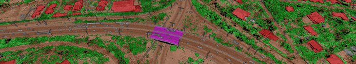
Our point clouds can be classified at one of our three proprietary classification types, to easily identify, measure and visualise a wide range of features. Depending on your application, scale and budget, we can help customise your survey outputs for the desired results. Check out samples of each classification Type (1, 2 and 3) using the link below.
Our simultaneous aerial LiDAR & imagery captures allow us to generate point clouds that can be colourised to produce visually accessible three-dimension models. These can prove very useful in communicating complex datasets to non-experts. Check out samples of our colourised point clouds and Model Key Points using the link below.
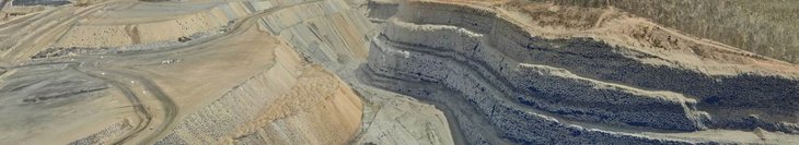
We can generate quantitative & qualitative elevation products from a single aerial LiDAR survey, including Digital Terrain Models (DTMs), Digital Surface Models (DSMs), Contours, Hillshades (DTM/DSM), and more. Check out samples of each of these along with an aerial imagery base map, using the link below.
Using our aerial surveys, we can supply an array of vegetation management datasets including Canopy Height Models (CHM), Foliage Coverage Maps (FCM), Tree Canopy Coverage, Canopy Stratification, maps showcasing change, and more. Download samples of these datasets using the link below.
Our point clouds can be classified at one of our three proprietary classification types, to easily identify, measure and visualise a wide range of features. Depending on your application, scale and budget, we can help customise your survey outputs for the desired results. Check out samples of each classification Type (1, 2 and 3) using the link below.
Our simultaneous aerial LiDAR & imagery captures allow us to generate point clouds that can be colourised to produce visually accessible three-dimension models. These can prove very useful in communicating complex datasets to non-experts. Check out samples of our colourised point clouds and Model Key Points using the link below.
Guide on Downloading and Viewing our LiDAR Sample Datasets:
Downloading the Samples
Viewing the Samples