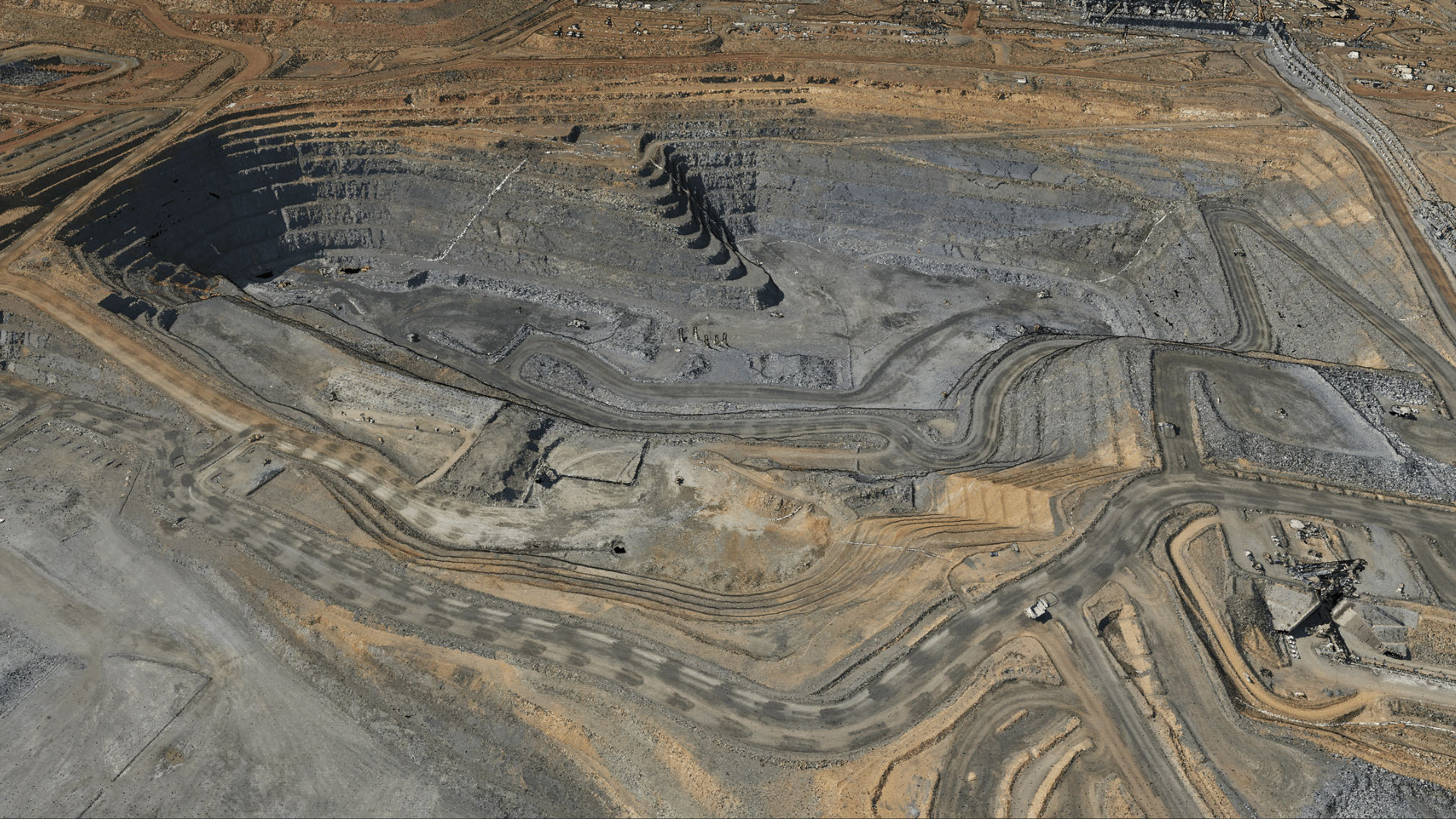
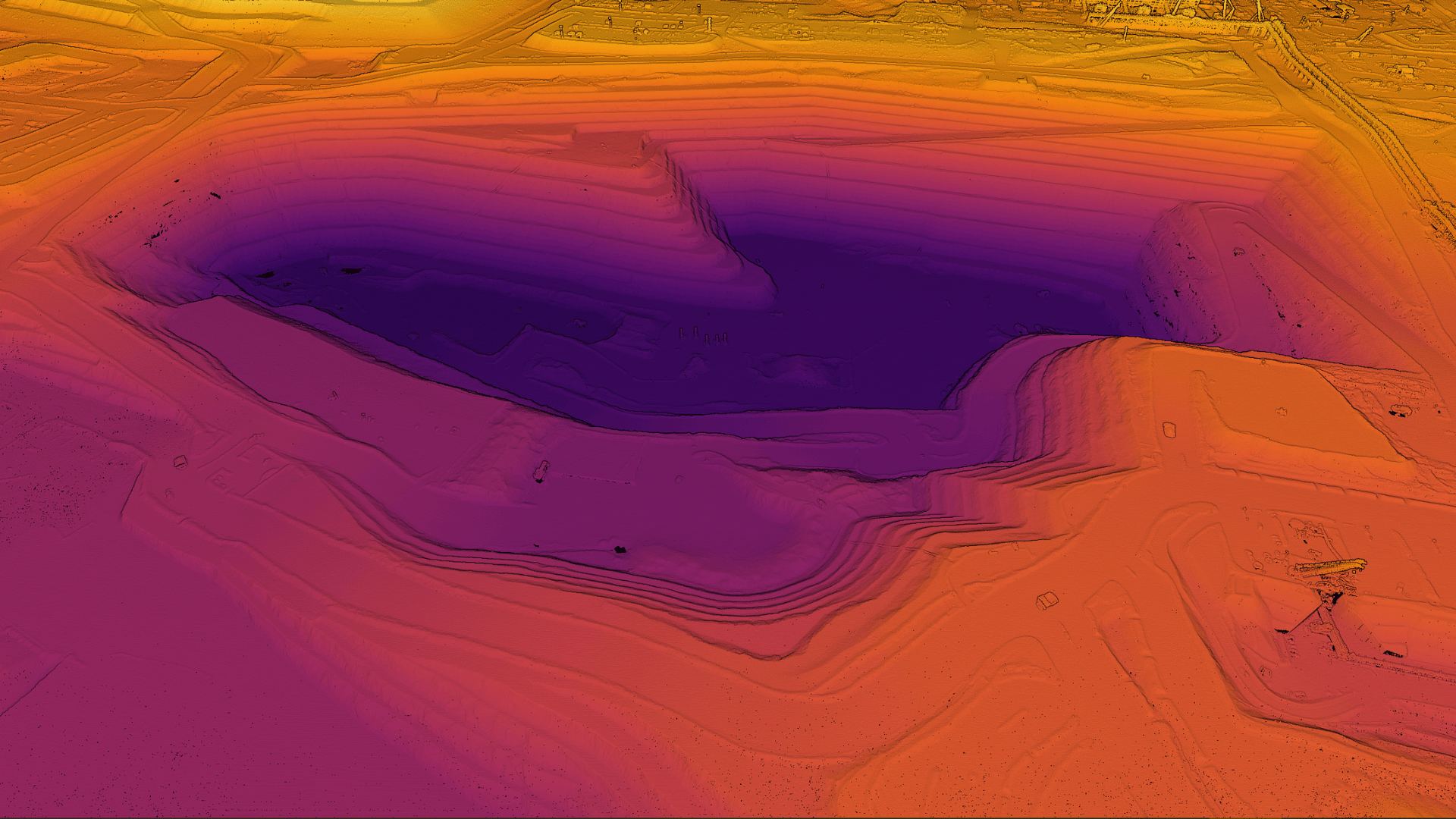
Combine LiDAR Data with High-Resolution Aerial Imagery

At Aerometrex, we can offer concurrent aerial imagery services that are captured simultaneously with our LiDAR data. This dual-capture approach ensures that you receive a more comprehensive spatial data suite from a single airborne survey. We work with you collaboratively to design surveys that offer optimal imagery alongside high-quality LiDAR data.

ENQUIRE NOW

Why Choose Aerial Imagery along with LiDAR?

  • Greater Insights: Benefit from the combined insights of LiDAR & high-resolution imagery offering complementary advantages.
  • Operational Efficiency:  Capture imagery & LiDAR for extensive areas in a single flight, reducing time and deriving cost efficiency.
  • Seamless Integration: Concurrent capture of aerial imagery and LiDAR data ensures perfect alignment, making it easier to analyse and interpret the data.
  • Versatile Applications: Combining these datasets can expand the use cases for spatial data across areas such as urban planning, environmental monitoring, infrastructure development, and more.
CapePreston_Pit_RGB_r CapePreston_Pit_Elevation_r

Some Key Applications of Imagery combined with LiDAR

Listed below are some scenarios where the addition of aerial imagery can benefit LiDAR data acquisition. However, these applications can be expanded to others based on collaborative conversations with your business.

Mapping Surface Disturbance

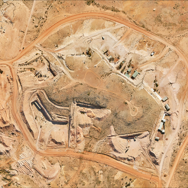
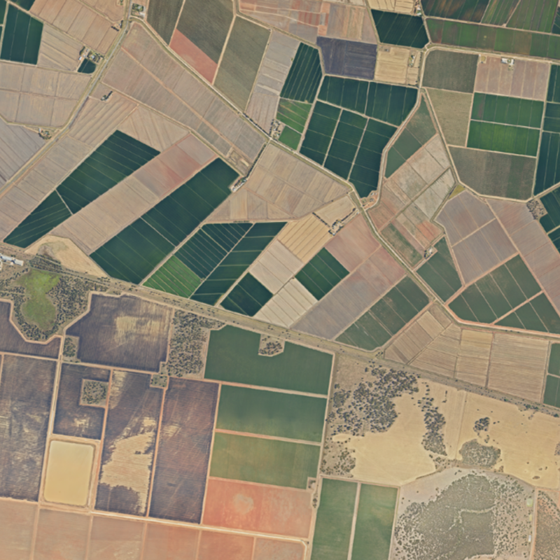
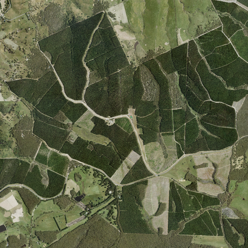
Digitise areas of surface disturbance with precision, both top soil and low vegetation, allowing for accurate monitoring and management of changes in the landscape.

Ballarat - 2B

Imagery as Basemap in GIS Systems

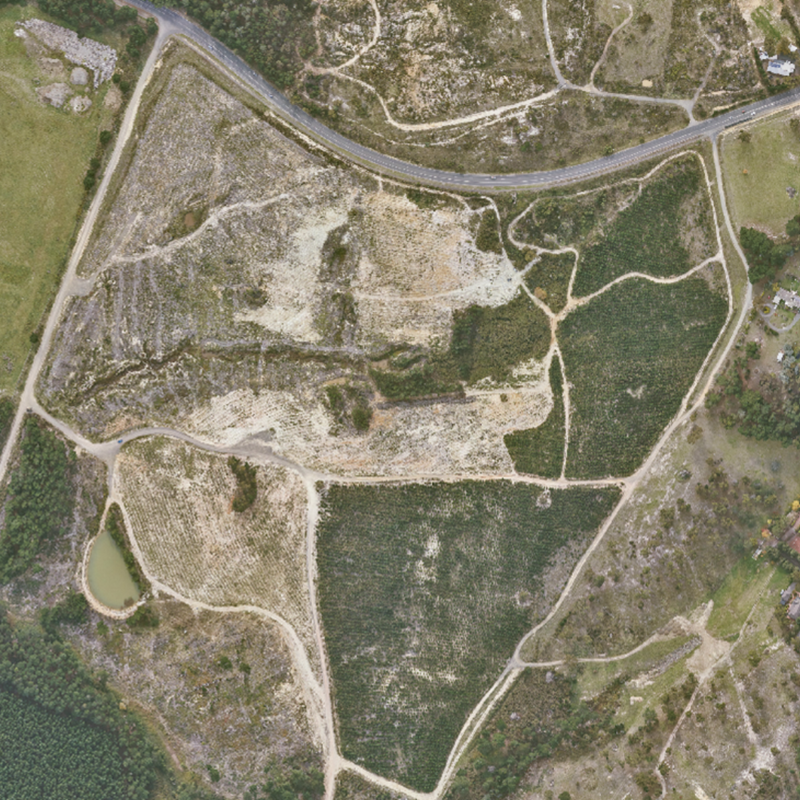
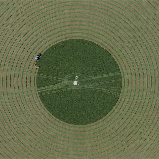
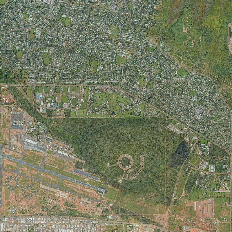
Use our high-resolution aerial imagery as a base map in GIS systems, providing a detailed and accurate foundation for various spatial analyses and applications.

Ballarat - 1

Digitising Property Boundaries

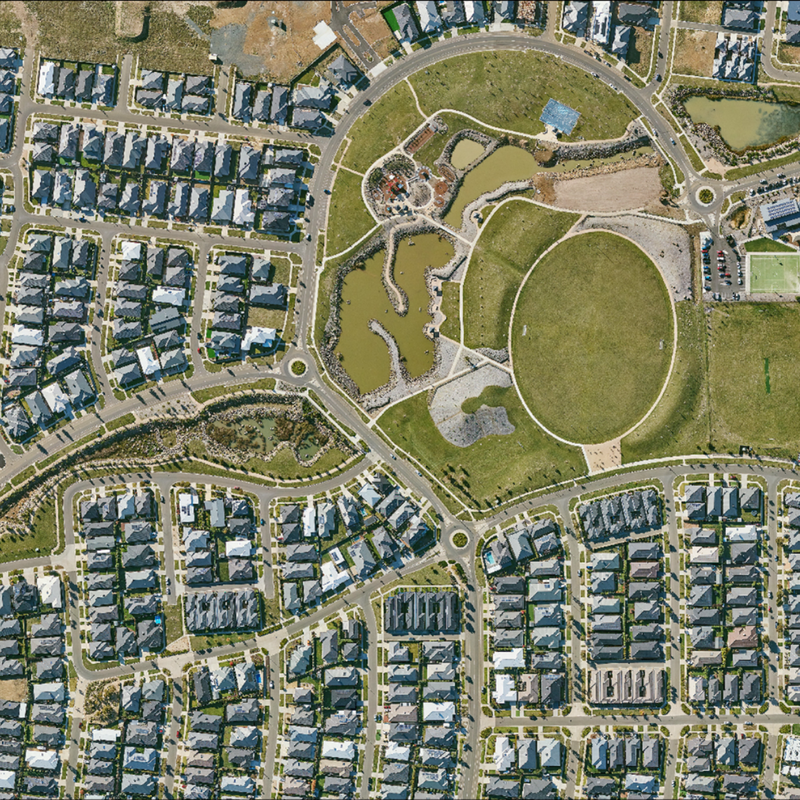
Accurately digitise and validate property boundaries such as fence lines from pre-existing vector datasets, ensuring precise and reliable data for land management and legal purposes.

Murrumbidgee

3D Visualisation & Informed Feature Extraction

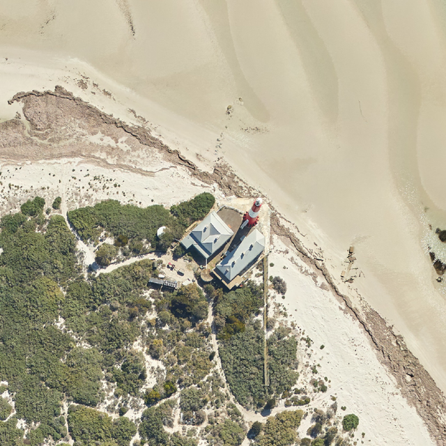
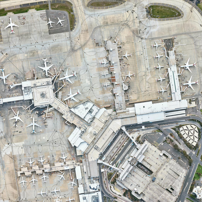
Colourise LiDAR Point Clouds using imagery to add visual context and help extract features that may not be readily identifiable such as building types, road markings, and low / near-ground vegetation.

Melbourne Airport

Land Cover Classification

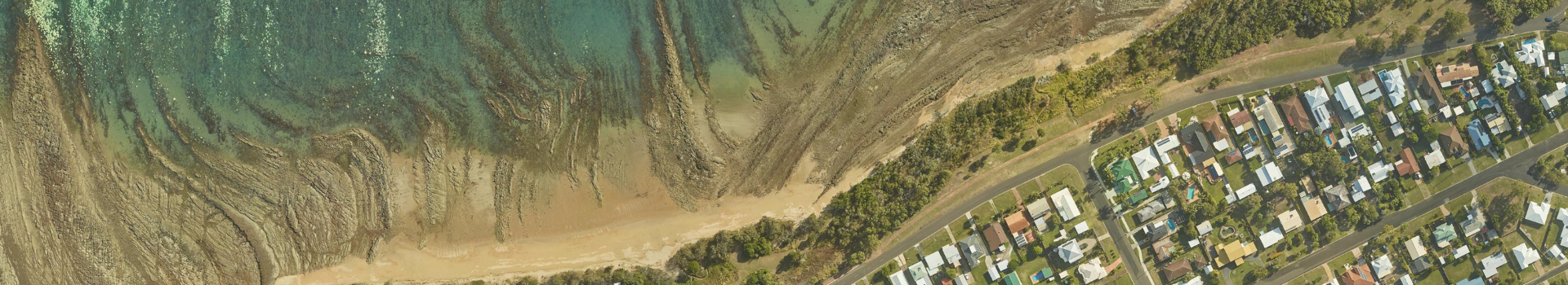
Use a data fusion approach within machine learning techniques to classify different land cover types, by combining the structural information from LiDAR with the spectral information from imagery to achieve even more accurate model predictions.

Darwin

Route Analysis

Visually identify obstacles and plan optimal routes for improving efficiency and safety. This is especially useful across industries and sectors such as transportation, utilities, etc. and during the planning phases of other large & critical infrastructure projects.

Adelaide Hills

Aerometrex’s Range of Aerial Imagery Solutions

It’s important to distinguish between our concurrent aerial imagery solution with LiDAR and our MetroMap aerial imagery service:

  • Concurrent Aerial Imagery with LiDAR: This service involves capturing high-resolution aerial imagery simultaneously with LiDAR data collection, ensuring perfectly aligned and comprehensive spatial data. The focus of these surveys is generally the best LiDAR capture and survey cost-efficiency with auxiliary simultaneous aerial imagery. As a result, the concurrent aerial imagery may be affected by local weather conditions at the time of capture.
  • MetroMap Aerial Imagery: MetroMap is Aerometrex’s flagship aerial imagery solution offered as a subscription service. It provides extensive, regularly updated aerial imagery coverage for various regions captured using highly specialised sensors. This is ideal for users needing consistent, high quality and up-to-date imagery for their projects. More details on this solution can be found here.

Gallery > Aerial Imagery captured concurrently with LiDAR

X