Property and real estate teams rely on accurate spatial context to evaluate sites, manage assets and communicate value. Aerometrex delivers trusted aerial imagery, LiDAR and 3D modelling solutions that help organisations understand land, buildings and surroundings with confidence - from early site assessment through to long-term asset management.
As the provider of MetroMap, Aerometrex supplies premium, consistently captured aerial imagery across Australia, supported by specialist project services for LiDAR and 3D modelling. Together, these solutions help property professionals move beyond static maps and fragmented datasets to a reliable, scalable view of their assets and opportunities.
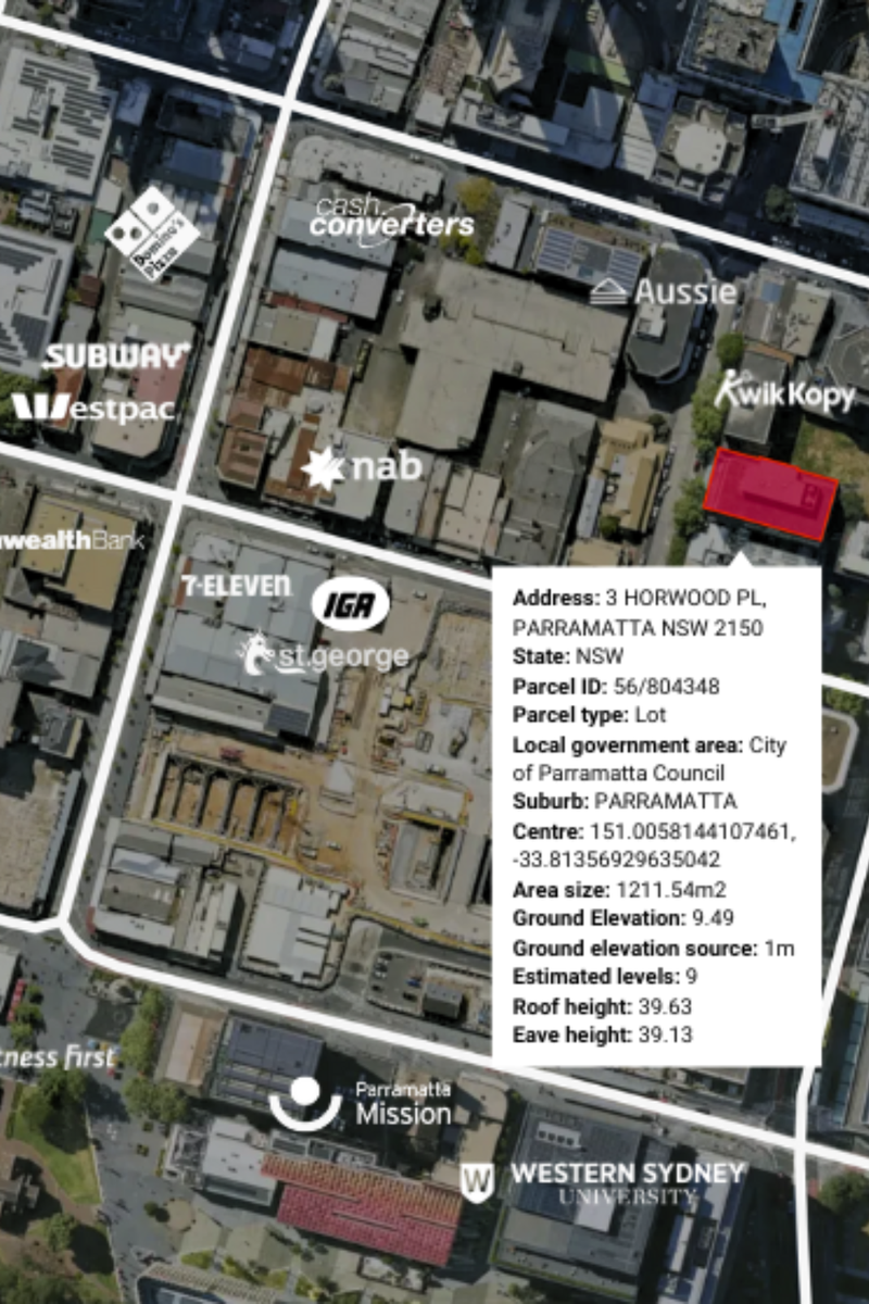
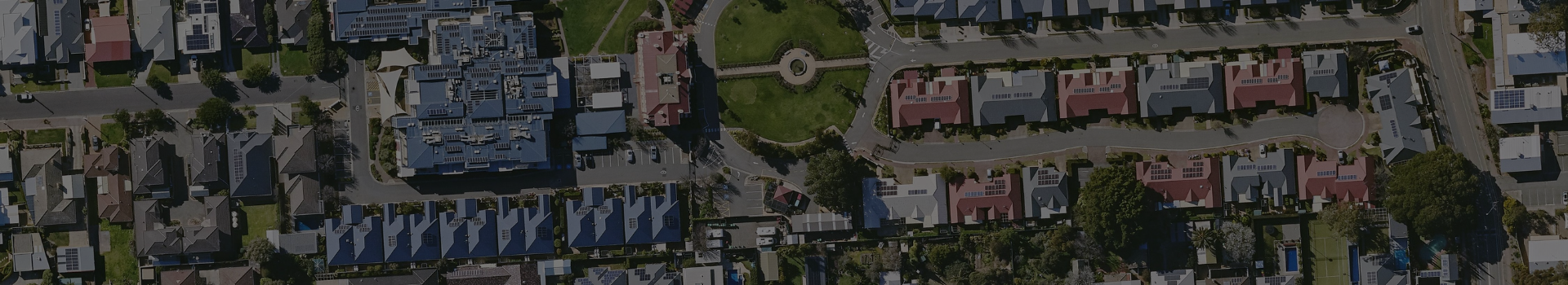
High-resolution aerial imagery is a critical foundation for property assessment, portfolio management and market analysis. Unlike single-use or low-cost imagery layers, MetroMap provides current, consistent and professionally captured imagery that supports confident decision-making across large and diverse property portfolios.
Delivered via a web platform and APIs, MetroMap integrates seamlessly into existing workflows - from GIS and planning tools to internal dashboards and valuation models - providing a shared spatial reference for teams across acquisitions, development, asset management and advisory. Using MetroMap imagery, your team can:
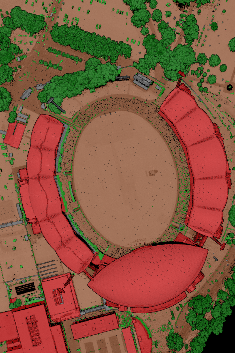
LiDAR provides critical elevation and surface intelligence for property and real estate projects where terrain, slope and height matter. Aerometrex delivers aerial LiDAR surveys and derived products that support feasibility studies, development planning and risk assessment at the site and precinct scale.
Where new capture is not required, off-the-shelf LiDAR datasets are available for selected areas, offering a faster and more cost-effective way to access reliable terrain information.
This provides your team with:
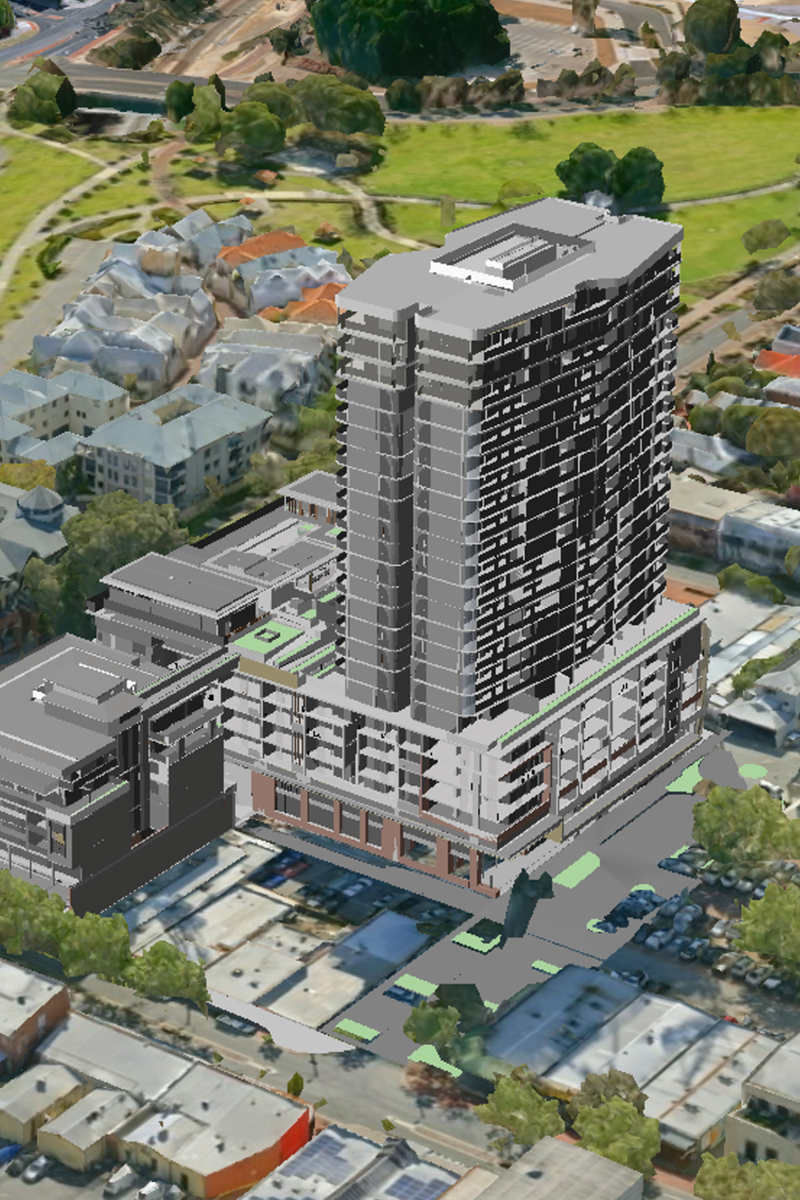
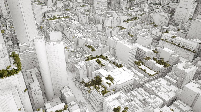
3D mesh reality models deliver photo-realistic views of buildings, sites and surrounding environments, helping property teams visualise assets and communicate opportunities clearly. These models are particularly valuable for precincts, commercial centres and high-value developments where context and scale influence decision-making.
For major Australian cities, pre-existing 3D mesh datasets are available, providing an efficient way to access detailed visual context without commissioning new capture.
This allows your team to: