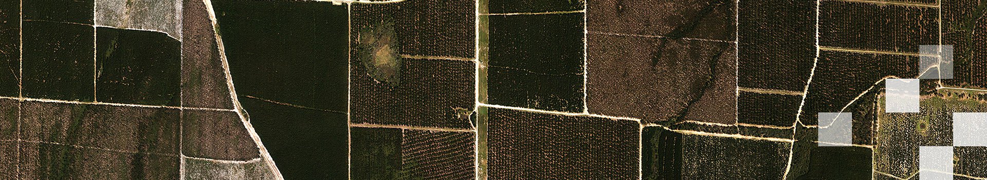
Understand LiDAR accuracy through the lens of an expert and learn what is important for users to consider when selecting data for their specific use cases.
Read more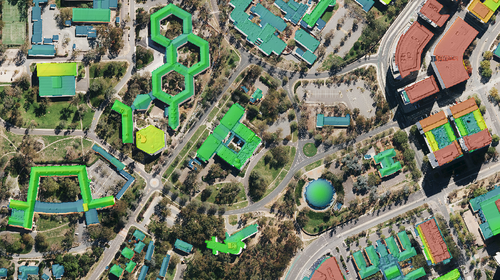
LiDAR-derived raster & vector datasets can describe the built infrastructure within a survey area and provide key insights about their geometry and relative distribution to vegetation and ground.
Read more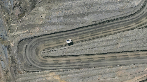
Spatial data acquired through Aerial LiDAR surveys can benefit mine sites throughout their entire life cycle - from pre-build planning to post-closure rehabilitation.
Read more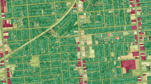
LiDAR has become an industry standard for accurately mapping the distribution and three-dimensional structure of vegetation across both urban and rural landscapes.
Read more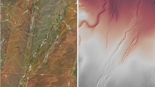
LiDAR can help produce a wide range of elevation datasets, both raster and vector, which symbolise the elevation of the landscape in two dimensions, making it much easier to use them in standard GIS.
Read more
From Adelaide to the gaming world, Aerometrex 3D reality mesh helped Codemasters build the Las Vegas Formula 1® circuit for the officially licensed EA SPORTS™ F1® 23 game.
Read more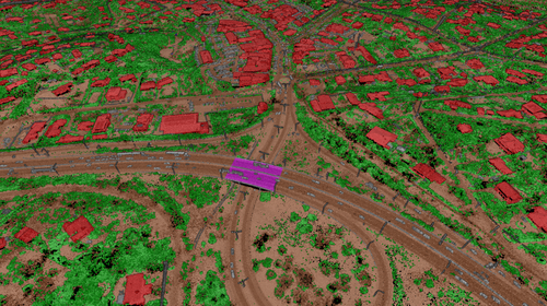
Unlock the power of LiDAR point cloud classification, extract valuable insights, and discover Aerometrex's tailored solutions for accurate and efficient data analysis.
Read more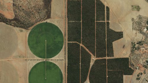
When designed properly, a single Airborne LiDAR survey can provide a suite of highly accurate datasets that can help landowners develop informed land management strategies. Read more..
Read more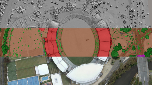
We gathered datasets from our three product lines to showcase the AFL Gather Round venues of 2023. See how spatial data can help critical infrastructure projects.
Read more