Yes. You can use the "Register Your Interest" section on our Careers page to share your details with us, and we may contact you when an appropriate opportunity comes up.
Computershare Investor Services Pty Ltd maintains Aerometrex's share registry. They can be contacted at Level 5, 115 Grenfell Street, Adelaide SA Australia 5000 or via phone on + 61 (0) 8 8236 2300.
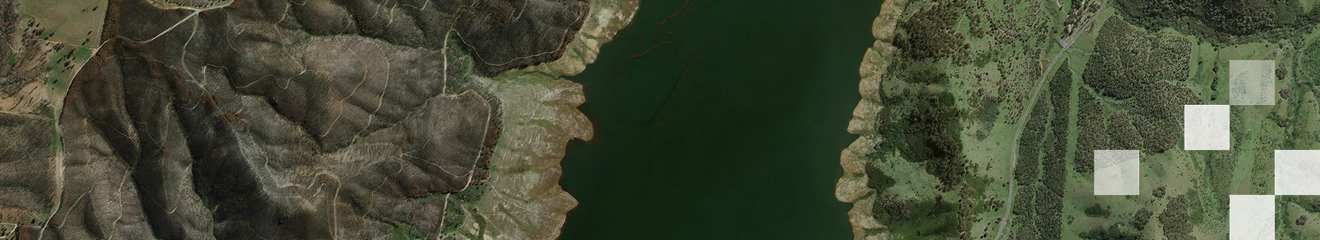
We are an aerial imagery capture business that captures imagery from overhead between 5cm and 20cm resolution meaning that at the highest level of zoom, each pixel on your screen will measure between 5x5cm to 20x20cm. As all our imagery is taken from above resulting in resolutions that are less than images taken at ground level, our imagery is not clear enough to identify individuals.
Our obligations under the Privacy Act 1988 (Cth) require us to advise all stakeholders on how we collect, use, store, and/or disclose “personal information” which is defined as information that can identify a particular individual. We comply with this obligation through our privacy policy found here. However, as our imagery cannot identify an individual due to the resolution not being clear enough, we are not required to blur out any of our imagery for the purpose of complying with privacy law obligations.
Whilst we acknowledge that some companies blur images at a street level, this is because their images are clear enough that the individual can be identified. As part of our MetroMap 2D aerial imagery program, we do not capture any street-level imagery and our captured imagery is not clear enough to identify an individual; for this reason, we do not and are not required to blur out our imagery. Street-level imagery is available within the MapViewer, however, this is supplied by Google® and provided as-is; it is not captured or processed by Aerometrex.
LiDAR stands for Light Detection and Ranging and is a remote sensing technology that uses laser light to measure distances and create high-accuracy three-dimensional models of the earth’s surface and above-ground features. Airborne LiDAR works by emitting millions of laser pulses per second from a sensor mounted in an aircraft and then measuring the time it takes for the laser light to travel to the earth’s surface and to be reflected back to the sensor. This allows Airborne LiDAR to create a high-resolution, three-dimensional point cloud model of the earth’s surface, as well as above-ground features such as vegetation, buildings, and other infrastructure.
The Airborne LiDAR point cloud can then be fully classified making it possible to produce large scale derived datasets that accurately describe the elevation and topography of the landscape, as well as the location, height and structure of buildings and vegetation. Airborne LiDAR technology has the ability to penetrate through the tree canopy and measure the ground surface and buildings below, thus creating highly accurate elevation datasets and a holistic three-dimensional model of the environment.
Aerometrex is one of Australia’s leading Airborne LiDAR data providers and currently operates its own fleet of fixed-wing aircraft and LiDAR sensors, capturing data across the entire country. Aerometrex prides itself on providing high-accuracy, spatially consistent LiDAR data across large areas of interest. You can view & download our LiDAR Product Brochure/Catalogue here.